Home · Credits
Credits
Photograph and map credits
Every picture on this site is in the public domain. Period photographs show streets and cuttings after a storm, or historical weather maps, not the blowing snow itself.
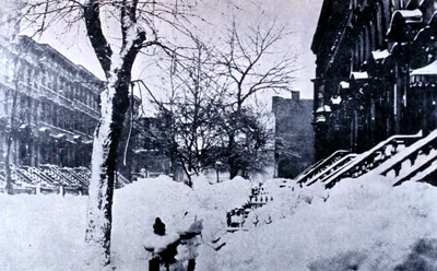
Brooklyn blizzard 1888.jpg — Unknown photographer, NOAA Photo Library / Historic NWS Collection, Public domain.
Park Place in Brooklyn, New York, photographed on 14 March 1888 during the Great Blizzard. A street after the storm, not a picture of the wind itself. Source: NOAA Photo Library / Historic NWS Collection. May be used in paid printables (public domain).
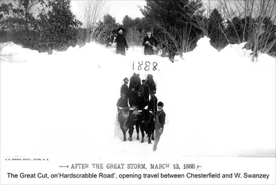
Blizzard of March 1888 - the “Great Cut” on Hardscrabble Road, opening travel between Chesterfield and West Swanzey (4382430414).jpg — J. A. French, Keene, New Hampshire, Public domain.
The “Great Cut” on Hardscrabble Road, between Chesterfield and West Swanzey, New Hampshire, after the Great Blizzard of 1888. The year 1888 is marked in the snow wall. A cut opened for travel, not a photograph taken in the blowing snow. Keene Public Library and the Historical Society of Cheshire County, via Wikimedia Commons. The print is captioned “After the Great Storm, March 13, 1888”. May be used in paid printables (public domain).
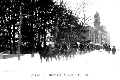
Blizzard of March 1888 - City Four-Horse Team breaking drifts (2576211524).jpg — J. A. French, Keene, New Hampshire, Public domain.
A city four-horse team breaking drifts in Keene, New Hampshire, after the Great Storm of 13 March 1888. Keene Public Library and the Historical Society of Cheshire County, via Wikimedia Commons. May be used in paid printables (public domain).
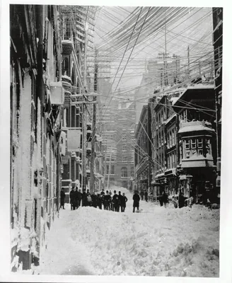
Blizzard 1888 01.jpg — Unknown photographer, Museum of the City of New York collection, Public domain.
A New York City street during the Great Blizzard of 1888, from the photograph collection of the Museum of the City of New York. Pedestrians and piled snow on a city block; the file does not name the street. Photograph collection of the Museum of the City of New York, via Wikimedia Commons. May be used in paid printables (public domain).
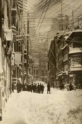
A view toward Wall Street during the Great Blizzard of 1888.jpg — Brown Brothers, Public domain.
A view toward Wall Street, New York City, during the Great Blizzard of 1888. May be used in paid printables (public domain).
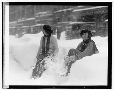
Blizzard, 1-28-22 LOC npcc.05678.jpg — National Photo Company, Public domain.
Two people sitting in deep snow in Washington, D.C., on 28 January 1922, during the storm later known as the Knickerbocker Storm. The NWS Baltimore/Washington office records this as a heavy snowstorm (28 inches in the city), not as a modern blizzard warning. National Photo Company Collection, Library of Congress, item 2016832020 (npcc.05678). May be used in paid printables (public domain).
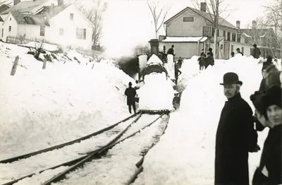
1888 blizzard in Norfolk, Connecticut.jpg — Marie Hartig Kendall, Public domain.
Residents of Norfolk, Connecticut, had cleared a path for this locomotive when Marie Hartig Kendall photographed it on 15 March 1888, after the Great Blizzard. Norfolk Historical Society, via Wikimedia Commons. May be used in paid printables (public domain).
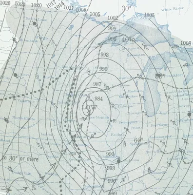
Armistice Day Blizzard surface map.jpg — U.S. Weather Bureau, Public domain.
A U.S. Weather Bureau surface analysis for 11 November 1940, the Armistice Day Storm. A historical weather map, not a photograph of the storm on the ground. NOAA Central Library, Daily Weather Map, 11 November 1940. May be used in paid printables (public domain).
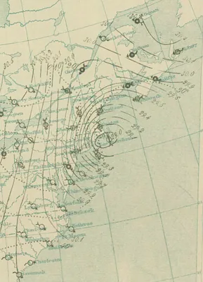
10 PM March 12 surface analysis of Great Blizzard of 1888.png — U.S. Signal Service / NOAA Central Library, Public domain.
A surface analysis for 10 p.m. on 12 March 1888, during the Great Blizzard, from the NOAA library Daily Weather Map series. A historical weather map, not a photograph. NOAA Central Library, Daily Weather Map, 12 March 1888. May be used in paid printables (public domain).